I am pleased to announce that I have finished the online course Introducing Mapping, Spatial Data and GIS from the Department for Continuing Education at the University of Oxford, which ran from 23 April to 4 July 2025.
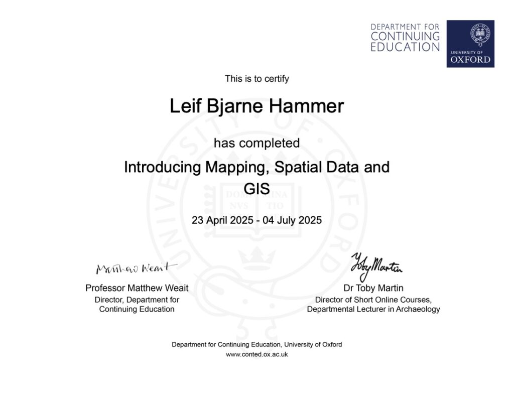
The course has allowed me to explore ideas and uncertainties that underpin the creation and use of spatial data and maps. I have explored the GIS software QGIS and produced my own georeferenced historical map.
I decided to join the course because I want to create my own maps for my DPhil thesis but I also look forward to delving deeper into using GIS in the future — both for my own work as a historian and museum head.
Leave a Reply